
Santiago Peak otherwise known as Saddleback Peak, is the highest point in Orange County stands at 5,689 feet with a prominence of 4,387 feet. The most popular trail to its summit is the Holy Jim Trail. This trail is not for novices as there are a number of points at which the trail can be steep, and very exposed to the sun. I did this hike in September 2014, which probably didn’t help, as it was a sunny, warm day.
Getting to the Trailhead
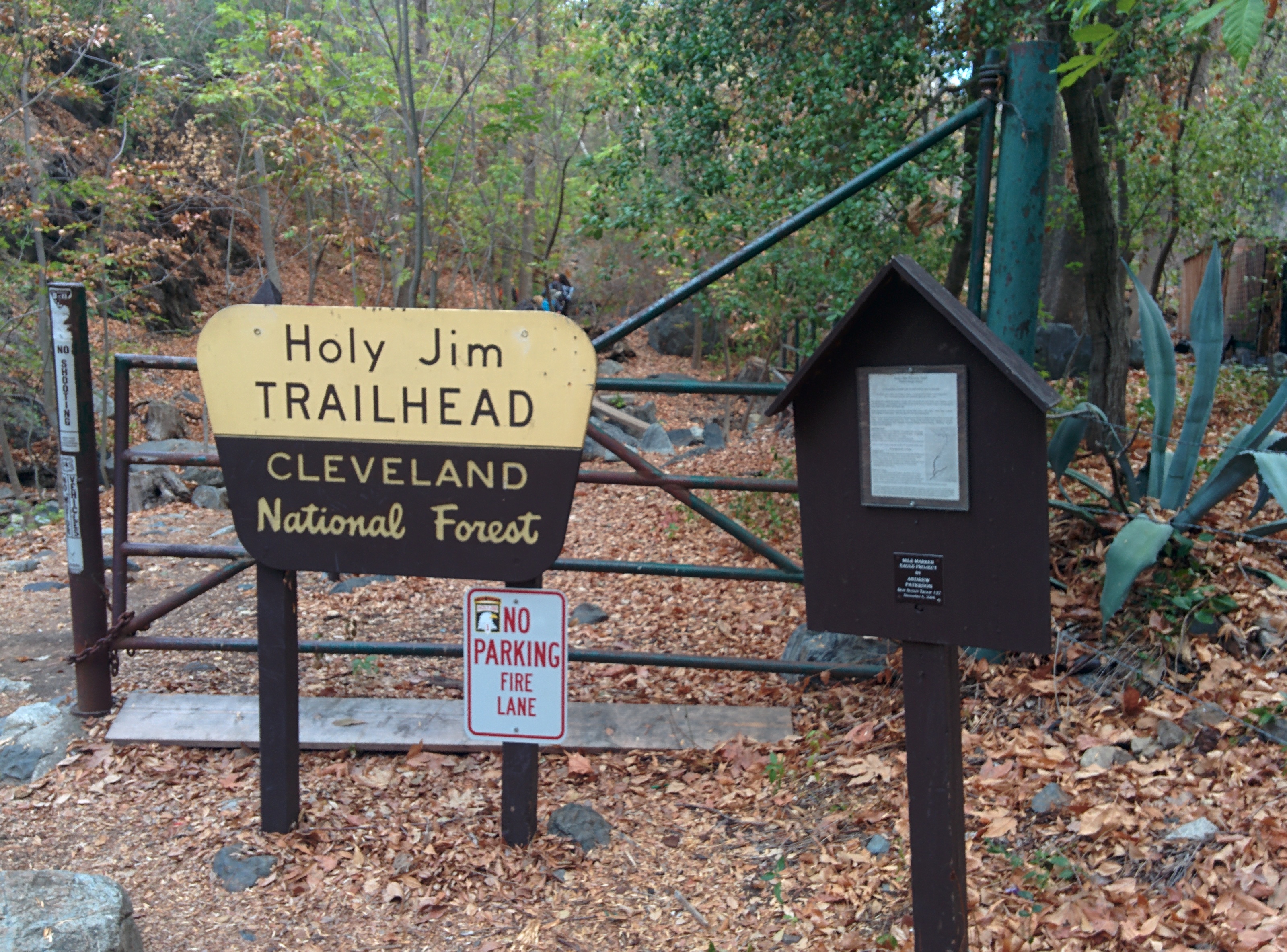
The road to the trailhead is very rugged, while you may not need 4×4 to handle it, you will need more clearance than most passenger cars have (SUVs and pickups shouldn’t have problems though). There is a nice large parking area where Trabuco Canyon Road (the paved road) and Trabuco Creek Road come together, so one option is to park the smaller cars there and consolidate into the bigger vehicles if you are in a group.
Starting the Hike
Once you have safely parked your cars at the trailhead, you will have to walk up a fireroad for a stretch (there are signs pointing out the direction of the trail).
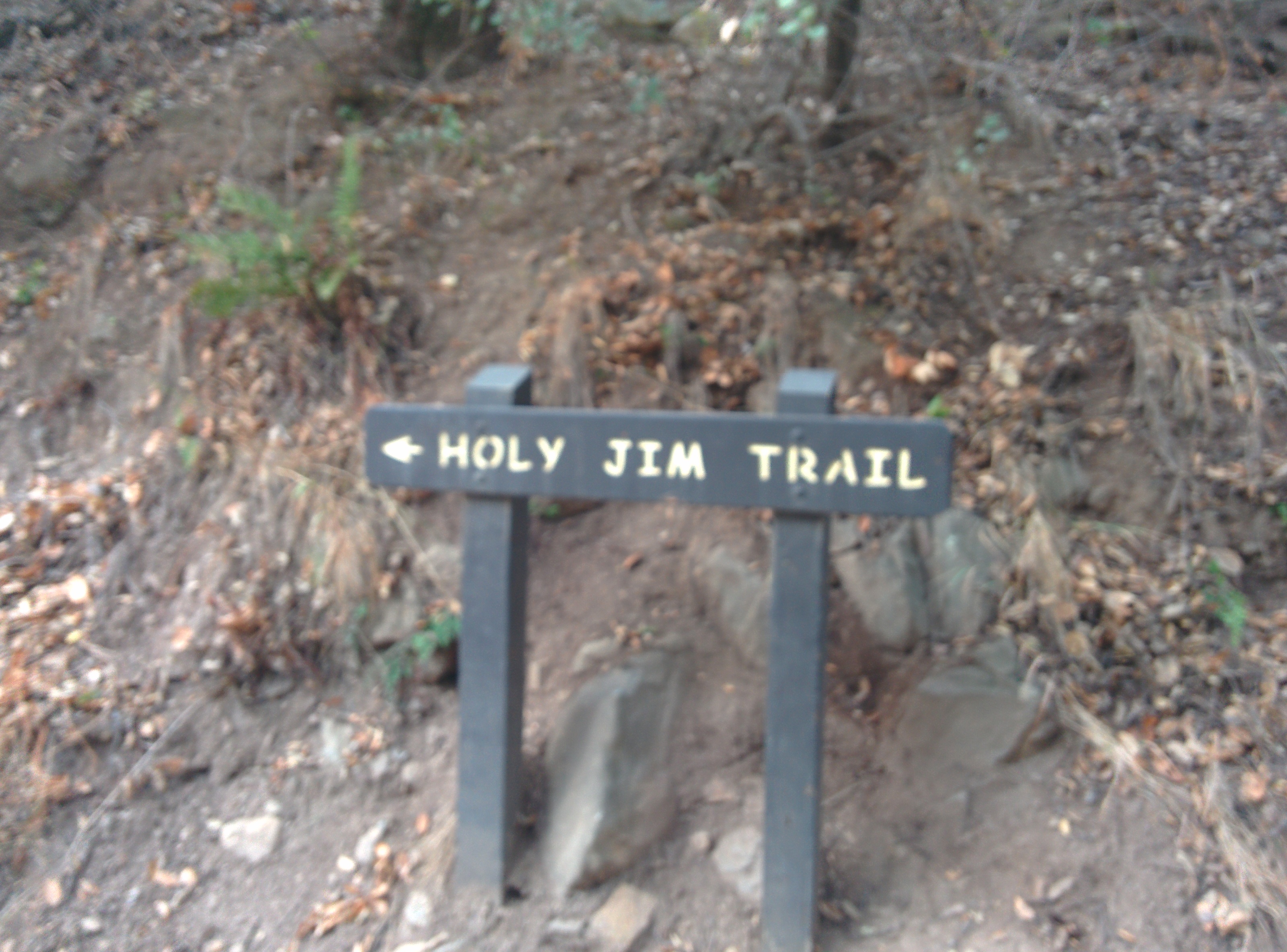
The fireroad meanders through some cabins (watch out for the occasional car/truck that comes through), about 1.25 miles in you will find a gate and the actual trailhead.
Onwards
This trail has a really nice mix of types of scenery. The hike starts along quite a bit of water, which is kind of rare in Southern California. There is a small side trip that can be done to Holy Jim falls, although I didn’t opt to go down that path as the group I was with was getting eaten alive by mosquitos.
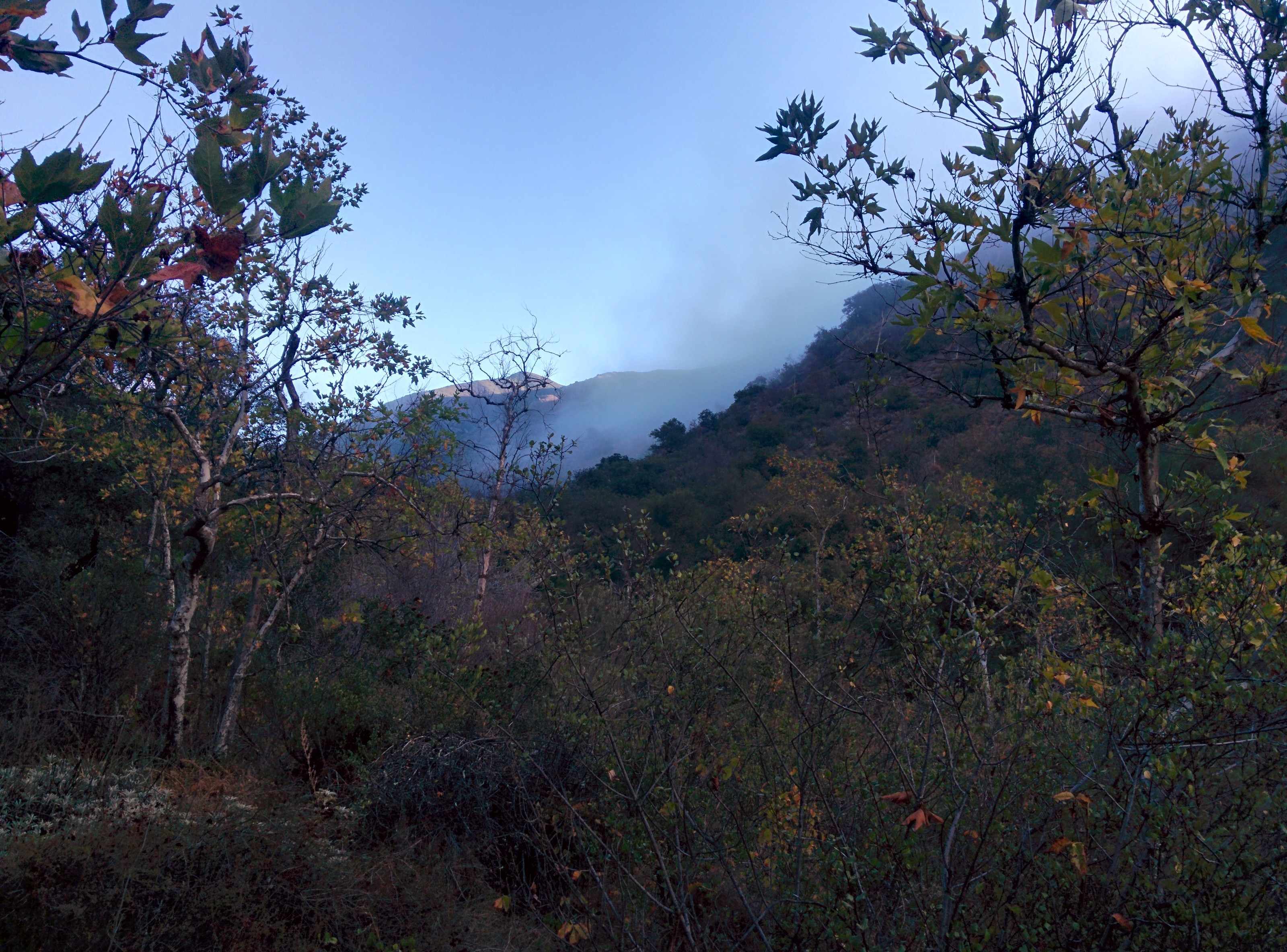
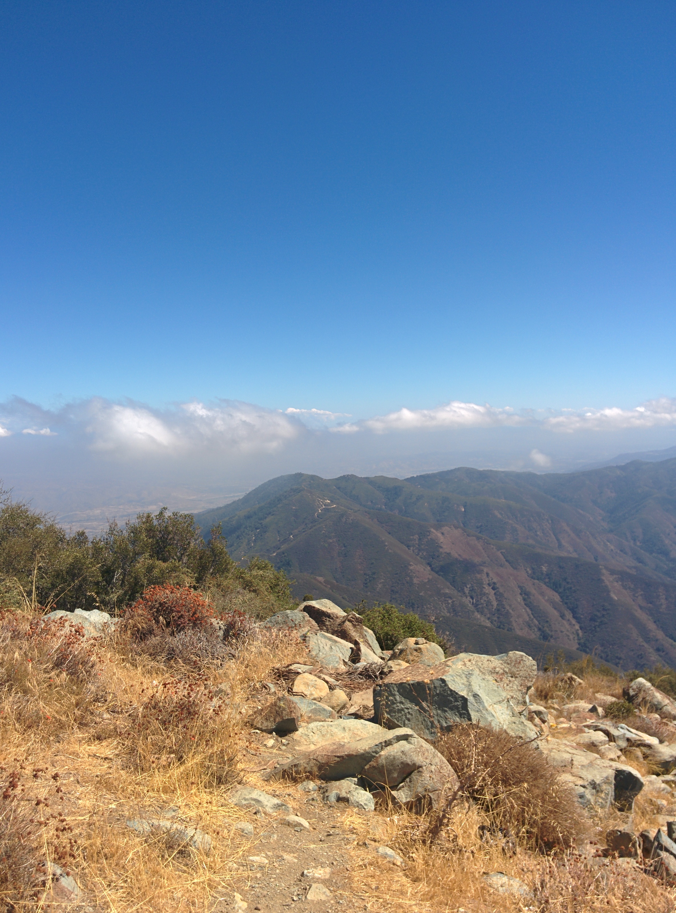
From the canyon in which the hike starts, some pretty aggressive switchbacks will take you steeply up to a higher elevation, with some great views of Orange County. After a couple of miles, the trail will merge into Main Divide road, a fire road which eventually meanders up to the summit, although it is much faster to take the Upper Holy Jim trail. Watch for a sign on the side of the road, the junction is very steep, but gets better after a few hundred feet.
The summit, unfortunately, has been taken over by communications equipment, although there is one section that has a few tubes you can use to identify landmarks on a clear day (things like San Clemente Island, Santa Catalina Island, etc).
Heading Down
To me at least heading up on this hike was actually easier than going down. On the way back down, I really noticed how steep some of the switchbacks were, not to mention how much easier it is to slip on the sandy, packed gravel that makes up much of the trail. As the saying goes “The top is only 1/2 way.”
Here is the Map and Elevation profile of the hike (along with GPX download):