Hike Date: Sunday, April 26, 2015
Miles: Approx. 23 miles in 18.5 hours
Elevation Change: 13,500 feet
According to Backpacker Magazine, Cactus to Clouds is the 5th hardest day-hike in the contiguous United States. I’m inclined to agree with them, as this is probably the most challenging day hike I have yet done.
This is a very long hike, so I will try and break it up a little bit. The hike pretty much has two big phases to it: Skyline trail which brings you from the Palm Springs Art Museum to Long Valley (where the ranger station and tram station are located), and then the regular hike to the summit through Long and Round Valleys.
The Start
We started this hike around 12:30 AM, parking in the structure across the street from the art museum. Apparently it was prom night, so the structure was swarmed with overdressed high schoolers. Once we gathered up all of our gear and made our way to the trailhead we made a couple of very annoying discoveries: my headlamp had been misplaced on the drive, and my backup flashlight was dead. Plus one other hiker had a very minimal amount of light coming from his headlamp. With only 4 of us on the hike, this was a bit of a setback, especially since the sun wasn’t going to rise for about 5 hours. Fortunately, one of the hikers with our group had a very powerful torch which provided more than enough light for the two of us (I still am beating myself up for misplacing my light, it was a very foolish mistake).
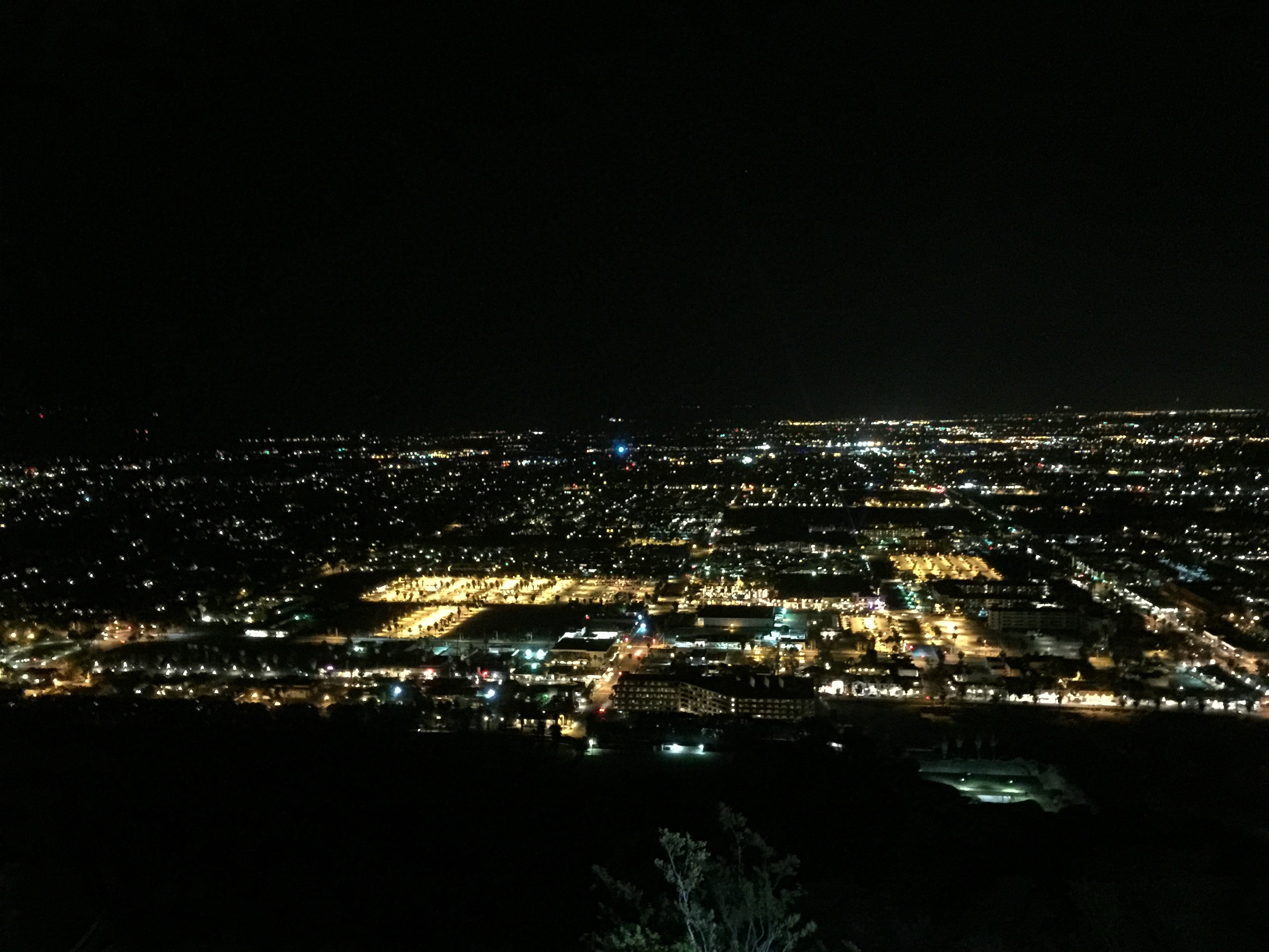
After our rocky start, we discovered that we actually were making really good time. The picnic tables on Skyline Trail are roughly one mile into the hike, and we were there before 1:30 AM (the trail up to the picnic tables is notoriously hard to follow, as there are many false trails and some spots where the trail simply seems to disappear). It also turns out that the clubs and bars in Palm Springs have some very powerful sounds systems, even a couple thousand feet above them we could clearly hear the bass lines.
Basically in the dark all we could do is keep hiking forward as quickly as we can to make sure we are well above the desert floor before the sun comes up (I normally hate the heat, but the heat of the desert in Palm Springs can be lethal if you happen to end up in it unprepared at the wrong time). Finally, many hours later we happened to get to watch the sunrise near Rescue Box 2 (the picture below is predawn, the actual sunrise was a bit later)
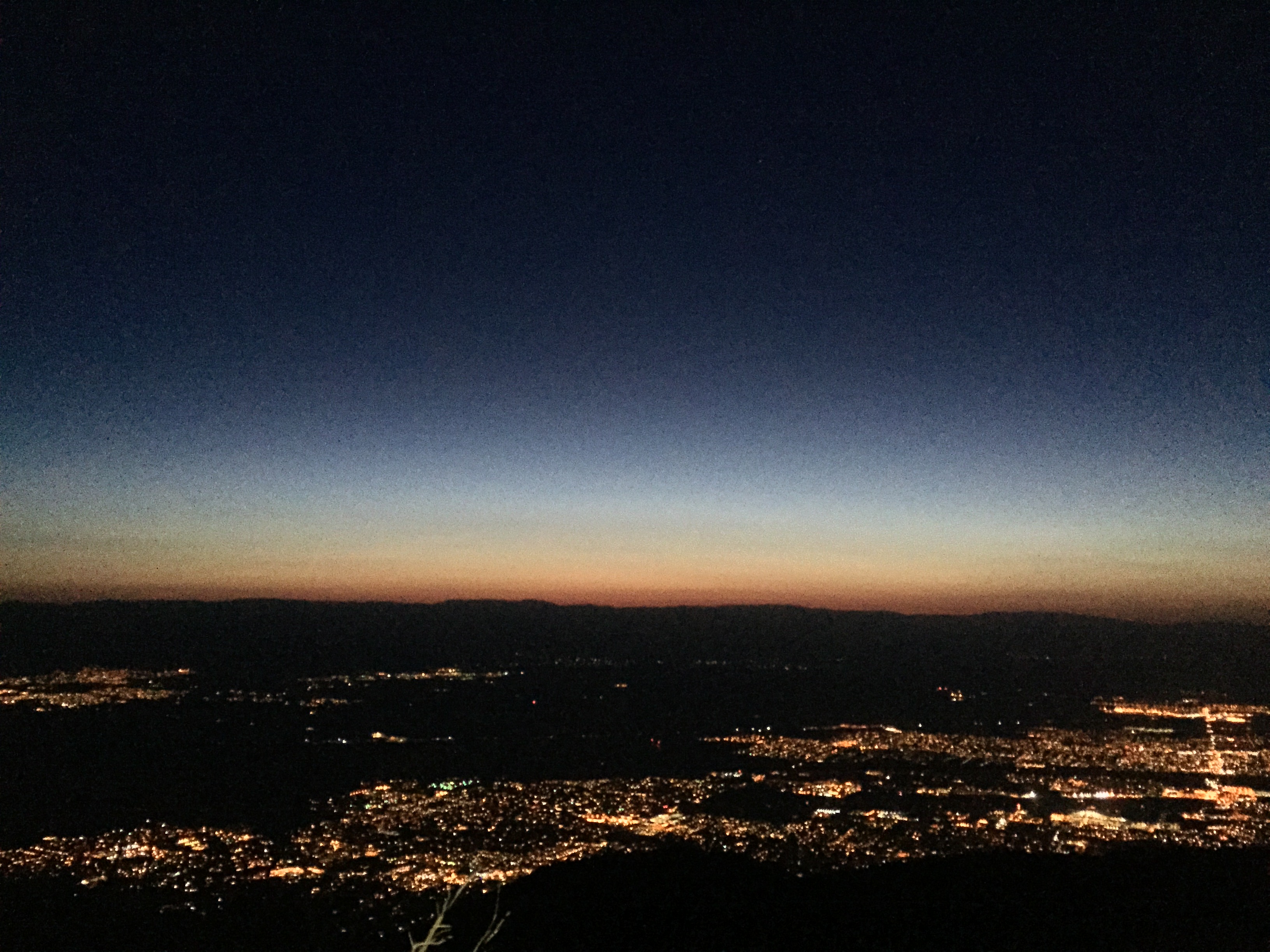
After the sun started coming up, it made life a lot easier as those of us without lights. Rescue Box 2 is both a blessing and a curse: when you get there it means you are over half way there, but you are coming up rapidly on what I have always thought was the hardest part of the hike. The final couple of miles are very steep switchbacks (look at the elevation profile on this page between 6,000 and 8,200 feet, and you’ll see what I’m talking about).
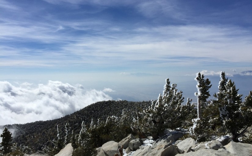
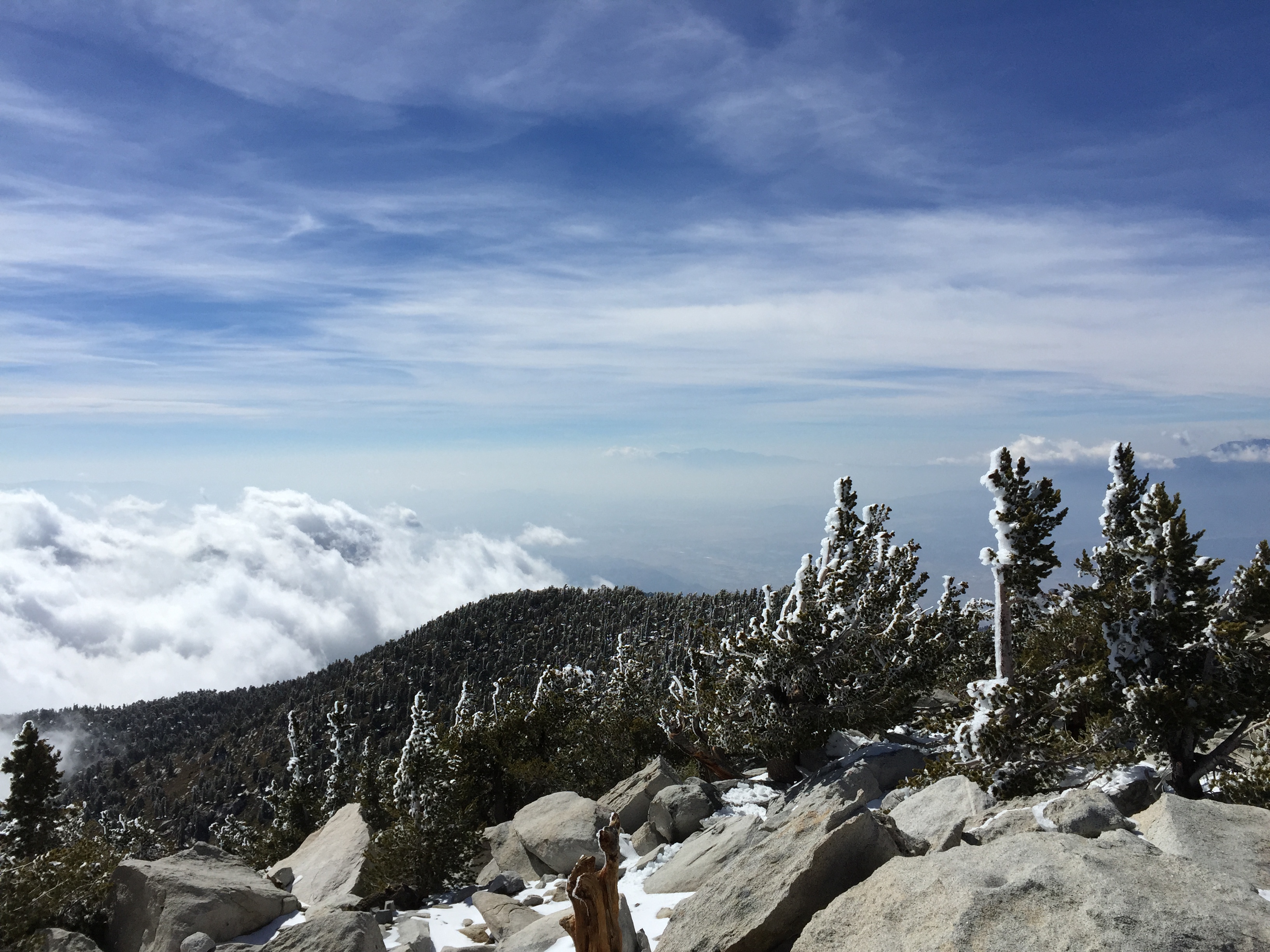
While the hike is very steep and demanding, it is also incredibly beautiful. Of the views from all three Saints in Southern California, I think the views going up San Jacinto are by and far the best. John Muir himself wrote, “The view from San Jacinto is the most sublime spectacle to be found anywhere on this earth!”
This view just continues getting better the higher you go. Plus there are a few great little places to take breaks and take great photos.
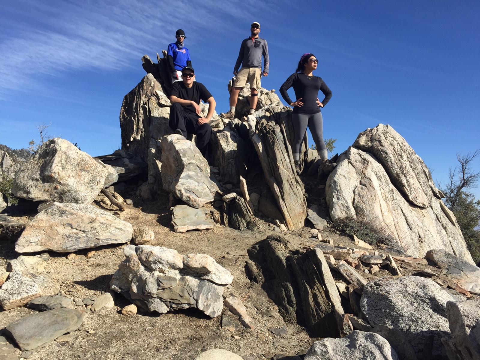
Photo Credit to Ray M.
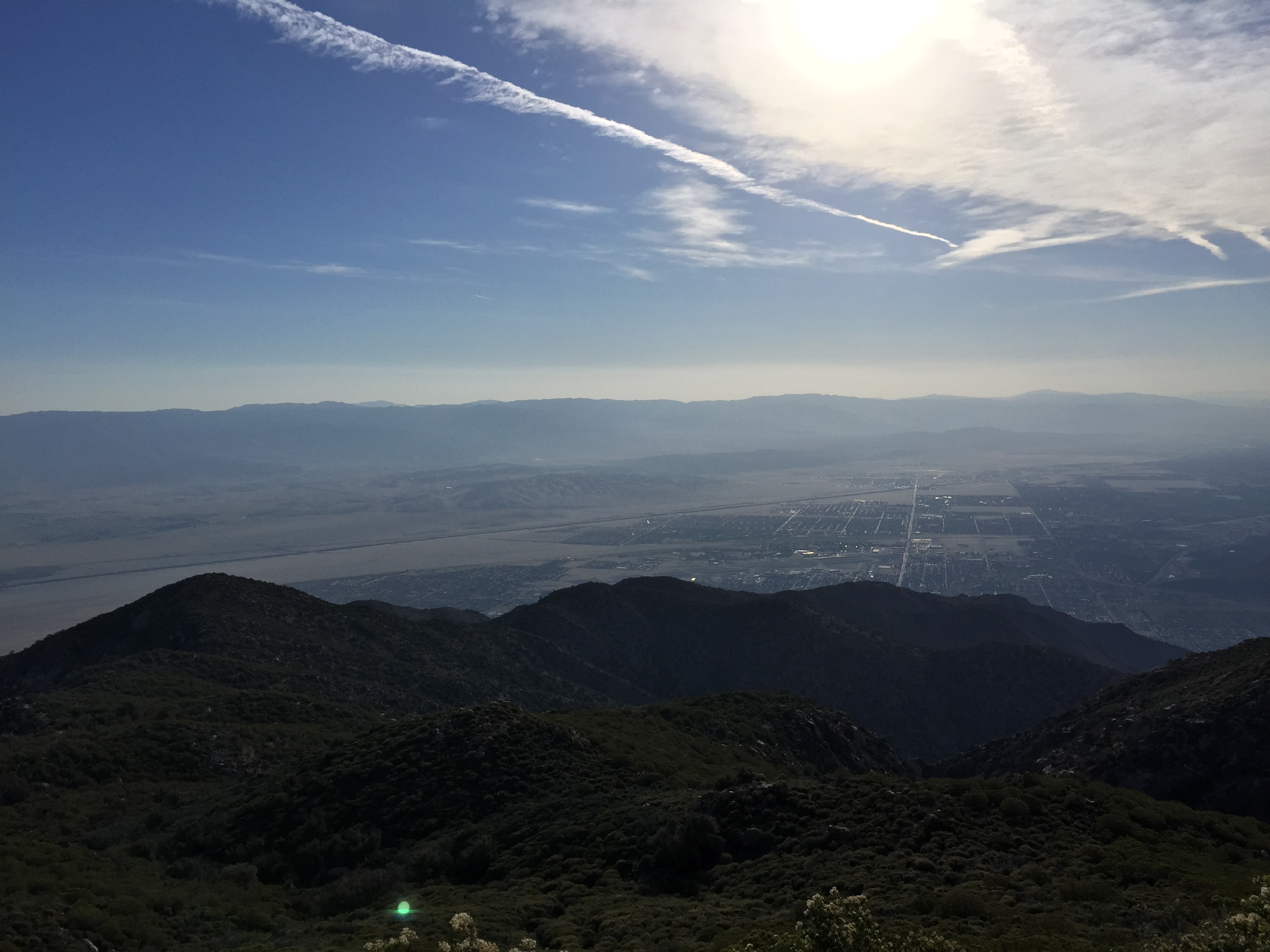
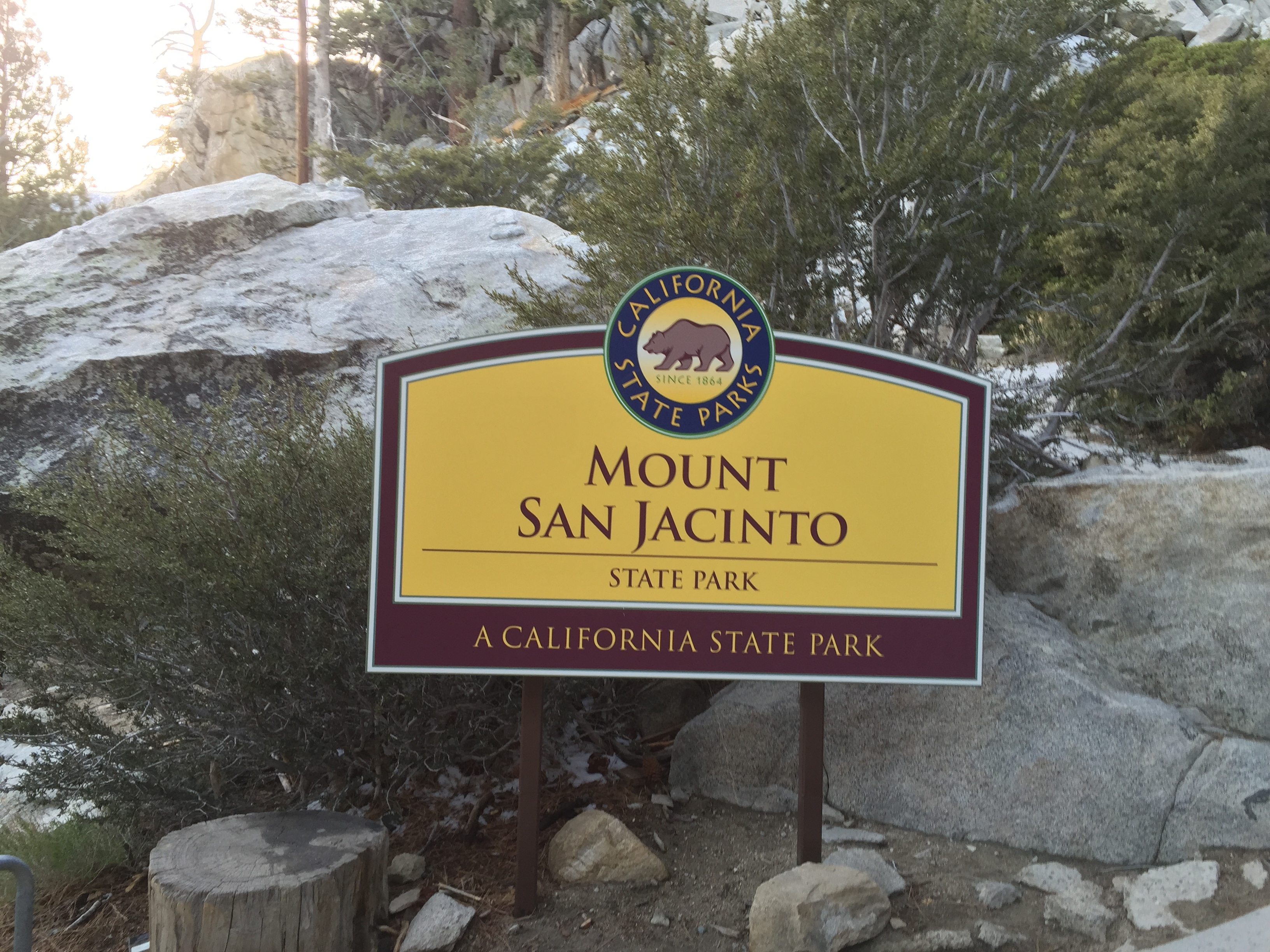
After making it to Long Valley, we went directly to the ranger station to get a permit for 12 miles or so we still had left to hike. The ranger station also has bathrooms (with real toilets!) and running water so you can fill your water bottles or bladders.
From here it was obvious we were all getting tired, but we were all determined to make it (and by getting tired I mean I was literally falling asleep while walking for a little while, thankfully I brought some energy chews with me).
The hike up to the summit is pretty mellow, plus we were hurrying a little bit. The trail is normally a very beautiful hike, but in this case we just wanted to get up to the summit. We stopped briefly at Wellman’s Divide to take a few pictures and eat a quick snack.
After Wellman’s Divide, the trail dips a little bit, and then switchbacks begin in earnest, but at this point it was pretty obvious that come hell or high water we were going to bag the peak. The trail all through here was part trail and part running stream with all of the slush, water, ice, and half melted snow. This slowed us down and ended up with all of us getting cold, wet feet.
After dealing with the slush, and making it to the top of the trail, all that was left was to scramble up the boulders the last hundred feet or so to the summit. This is a pretty basic scramble, but we all needed to be extra careful as we were all very tired at this point.
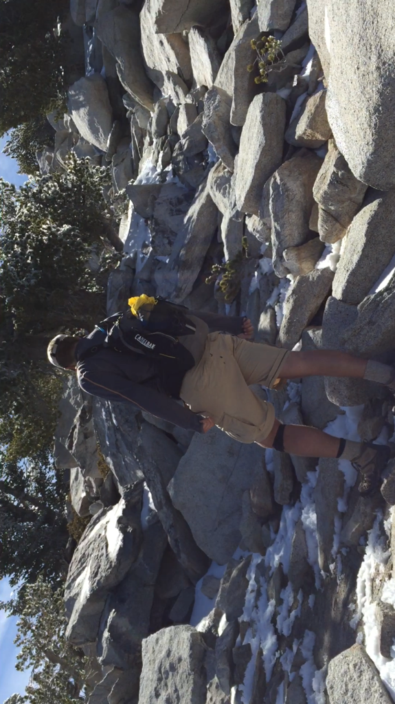
Photo Credit to Ray M.
Finally at the summit, I had to lay down next to the sign:
https://instagram.com/p/19pcqHvswO/
After we bagged this peak, we had to take a few group pictures and relax for a few minutes before it was time to race down.
With our pictures done, and us all relatively fed, the easy part of the hike was to begin: the hike back down to the tram station. Due to the fact that we were cold, and that the wind was starting to pick up, I ended up setting an incredibly aggressive pace on the way down (at one point my phone put us under 14 minutes for a mile, and we certainly weren’t running). We made it to the tram station just before 7:00 PM, completing our epic 16.5 hour adventure.
Come fall, when the weather cools down again, but before the snows start, I do plan on doing this again.
Great description of this hike. I’m glad I was part of this adventure and very grateful to the three gents for the support.